Old Rocky Point Park Maps (1980 to 1991) | 1 Maps and 2 Brochures
Our Old Rocky Point Park Maps archive runs from 1980 to 1991 with 1 map editions and 2 brochures. Use the table of contents to go directly to the year you want. For the current map guide, use the Rocky Point Park map page.
- Location
- Warwick, Rhode Island
- Years Active
- 1847 – 1995
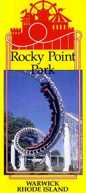
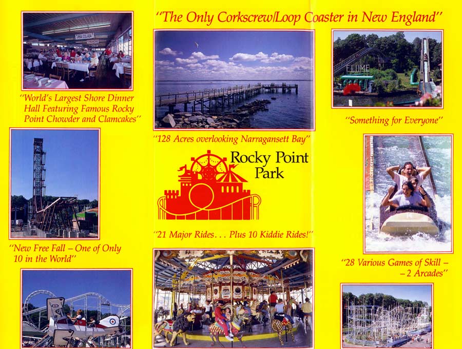
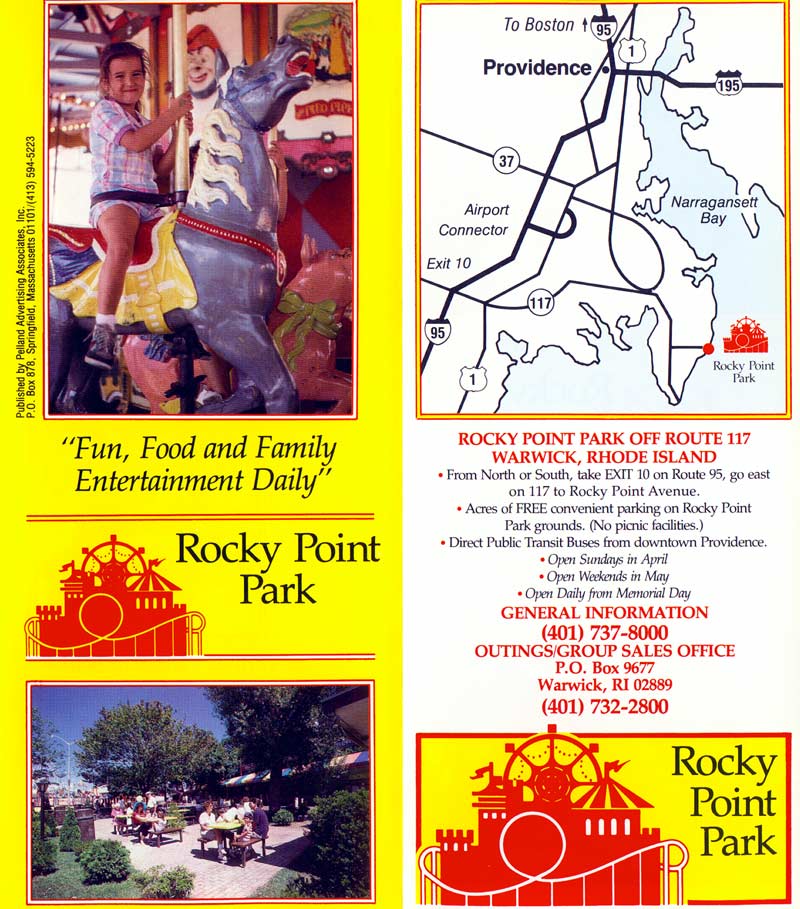
Rocky Point Park Brochure 1991
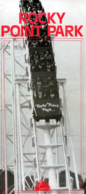
Rocky Point Park Brochure 1980


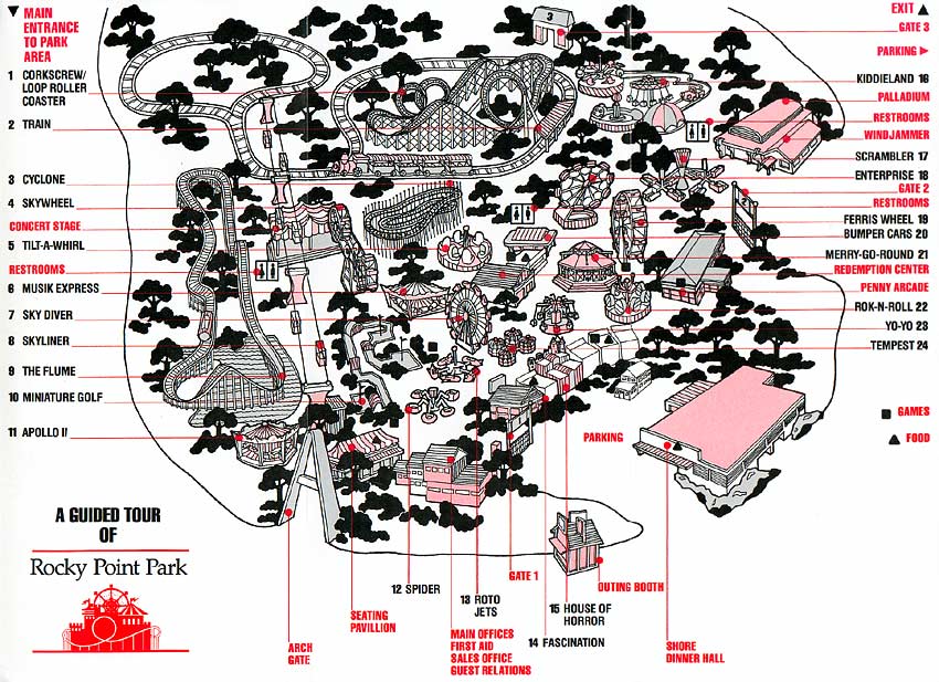
Rocky Point Park Map 1980
FAQ
Can you drink alcohol at Rocky Point Park?
No, alcohol is not allowed at Rocky Point Park. The park enforces a strict no-alcohol policy to maintain a family-friendly environment. Visitors found with alcoholic beverages may be asked to leave or face penalties as outlined by local regulations.
How long is the walking path at Rocky Point State Park?
The walking path at Rocky Point State Park is approximately 1.6 miles long. It follows the shoreline and loops through wooded and open areas, offering scenic views of Narragansett Bay. The paved trail is suitable for walking, jogging, and casual biking.
Can you park overnight at Rocky Point?
No, overnight parking is not allowed at Rocky Point State Park. The park closes at sunset, and vehicles left after hours may be ticketed or towed. Visitors should plan to leave before closing to avoid penalties enforced by local authorities.
Can you walk around Rocky Point Park?
Yes, you can walk around Rocky Point Park. The park features a 1.6-mile walking path along the coastline, with scenic views, open spaces, and picnic areas. It’s open to pedestrians during daylight hours and is ideal for walking, jogging, and relaxing outdoors.