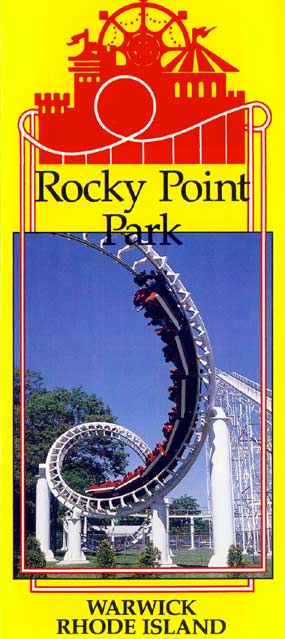
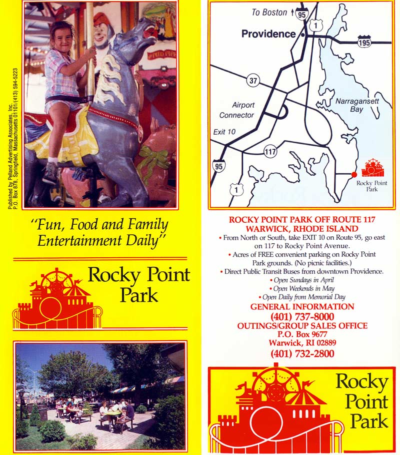
Rocky Point Park Map and Brochure (1980 – 1991)
Set along the bluffs of Narragansett Bay, Rocky Point Park once wound around a narrow shoreline path dotted with midway rides, seafood stands, and picnic groves that squeezed between cliffs and carnival noise. The Rocky Point Park map helped guests thread from the Sky Liner to the shore dinner hall without missing the corkscrew coaster or the tram stop tucked behind the saltwater pool.
- Location
- Warwick, Rhode Island
- Years Active
- 1847 – 1995
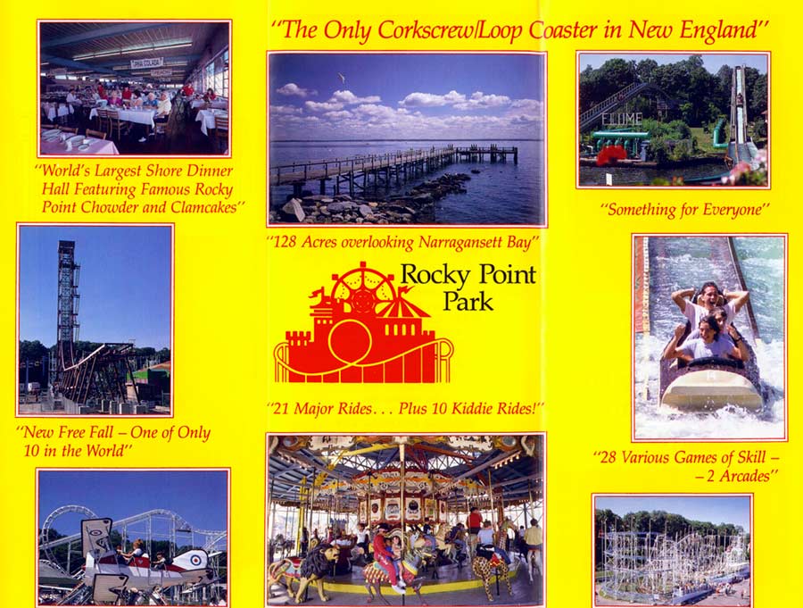
You could smell the clam cakes before you saw the line. Crowds bottlenecked near the archway, laughter echoing over the bay like a small-town summer anthem.
Need past editions? Browse the Old Rocky Point Park Maps archive (1980–1991) with 1 map editions and 2 brochures.
Rocky Point Park Brochure 1991
FAQ
Can you drink alcohol at Rocky Point Park?
No, alcohol is not allowed at Rocky Point Park. The park enforces a strict no-alcohol policy to maintain a family-friendly environment. Visitors found with alcoholic beverages may be asked to leave or face penalties as outlined by local regulations.
How long is the walking path at Rocky Point State Park?
The walking path at Rocky Point State Park is approximately 1.6 miles long. It follows the shoreline and loops through wooded and open areas, offering scenic views of Narragansett Bay. The paved trail is suitable for walking, jogging, and casual biking.
Can you park overnight at Rocky Point?
No, overnight parking is not allowed at Rocky Point State Park. The park closes at sunset, and vehicles left after hours may be ticketed or towed. Visitors should plan to leave before closing to avoid penalties enforced by local authorities.
Can you walk around Rocky Point Park?
Yes, you can walk around Rocky Point Park. The park features a 1.6-mile walking path along the coastline, with scenic views, open spaces, and picnic areas. It’s open to pedestrians during daylight hours and is ideal for walking, jogging, and relaxing outdoors.